
Always check the North Country Trail Weather in Michigan’s Lower Peninsula Before Hiking
Hiking the North Country Trail across Michigan’s Lower Peninsula (LP) is an adventure through forests, river valleys, dunes, and farmland. This roughly 620-mile stretch runs from Mackinaw City at the Straits of Mackinac to the Ohio border near Waldron, weaving through scenic regions like the Jordan River Valley, Manistee National Forest, Lowell, and Yankee Springs. Weather here is shaped by Lake Michigan’s influence—expect shifting breezes, quick storms, and heavy snow in winter along the west.
What to Expect
Diverse landscapes:
The LP section offers rolling hardwood hills, pine forests, cedar swamps, trout streams, and stretches of open farmland. Hikers pass through welcoming trail towns such as Petoskey, Kalkaska, Lowell, Middleville, and Litchfield, each offering unique views and easy resupply stops.
Moderate, varied terrain:
The Lower Peninsula doesn’t have the steep ridgelines of the Upper Peninsula but presents plenty of variety—gentle climbs, sandy trail sections, and boardwalks over wetlands. After rain, expect mud and slick footing on roots or planks.
Better coverage, still patchy:
While cell service is decent along much of the route, you’ll lose it in Manistee National Forest, Barry State Game Area, and deeper valleys. Download offline maps before heading out.
Well-marked, but carry backups:
Blazes and signage are reliable, thanks to volunteers. Still, always carry a paper map or offline GPS app, especially when snow, leaves, or fog obscure markers.
Seasonal & Weather Factors
Spring: Trails are soft with meltwater and mud; creek crossings can run high. Ticks emerge early in grassy sections.
Summer: Expect humid inland heat and cooler lake breezes. Afternoon thunderstorms roll in fast from the west. Mosquitoes and flies peak from June through mid-July.
Autumn: Late September brings peak color, especially through hardwood country. Watch for cold rain, gusty winds, and frost in low valleys.
Winter & Shoulder Seasons: The west sees lake-effect snow, while inland trails may ice over. Pack traction aids and check road access before driving to trailheads.
Hunting Season: Wear blaze orange during fall hikes through state game areas and Manistee NF segments.
Planning & Safety
Check the forecast daily—inland ridges can differ drastically from lakeshore sections. Pack layered clothing, a rain shell, and sun protection.
Always filter or treat your water, and confirm parking or access conditions on forest and game-area roads.
Ticks and poison ivy are common; wear repellent, check your skin daily, and learn plant identification.
Leave a trip plan with someone at home and stick to it.
Trail-Side Weather Links (West → East)
| Location | Coordinates (NCT Map) | Weather Channel Forecast |
|---|---|---|
| Western terminus (St. Ignace – Mackinac Bridge) – MI LP-0.0 | 45.8457, -84.7235 | weather.com – St. Ignace |
| Mackinaw City – Trail passes through town – MI LP-4.5 | 45.7811, -84.7321 | weather.com – Mackinaw City |
| Petoskey – Trail passes through town – MI LP-61.5 | 45.3735, -84.9605 | weather.com – Petoskey |
| Boyne Falls – Trail passes east of town – MI LP-92.5 | 45.1662, -84.8562 | weather.com – Boyne Falls |
| Mancelona – Trail passes east of town – MI LP-129.0 | 44.9025, -84.9288 | weather.com – Mancelona |
| Kalkaska – Trail passes through town – MI LP-156.0 | 44.7362, -85.1743 | weather.com – Kalkaska |
| Kingsley – Trail passes through town – MI LP-210.0 | 44.5121, -85.5239 | weather.com – Kingsley |
| Buckley – Trail passes south of town – MI LP-228.0 | 44.4340, -85.6984 | weather.com – Buckley |
| Brethren – Trail passes south of town – MI LP-260.0 | 44.2732, -86.0123 | weather.com – Brethren |
| Walhalla – Trail passes east of town – MI LP-300.0 | 43.9471, -85.9946 | weather.com – Walhalla |
| Bitely – Trail passes west of town – MI LP-324.5 | 43.7581, -85.8968 | weather.com – Bitely |
| White Cloud – Trail passes west of town – MI LP-351.5 | 43.5505, -85.8132 | weather.com – White Cloud |
| Riverview (Croton Dam) – Trail passes south of town – MI LP-373.0 | 43.4355, -85.6635 | weather.com – Croton Dam |
| Cedar Springs – Trail passes through town – MI LP-403.0 | 43.2235, -85.5540 | weather.com – Cedar Springs |
| Cannonsburg – Trail passes through town – MI LP-420.5 | 43.0556, -85.4686 | weather.com – Cannonsburg |
| Lowell – Trail passes through town – MI LP-449.0 | 42.9347, -85.3379 | weather.com – Lowell |
| Middleville – Trail passes through town – MI LP-472.5 | 42.7108, -85.4646 | weather.com – Middleville |
| Springfield – Trail passes through town – MI LP-530.5 | 42.3211, -85.1820 | weather.com – Springfield |
| Litchfield – Trail passes through town – MI LP-583.0 | 42.0469, -84.7585 | weather.com – Litchfield |
| Waldron – Eastern terminus of MI LP – MI LP-622.0 | 41.7049, -84.4374 | weather.com – Waldron |
Satellite Communication Devices – Staying Connected
Dense forest and low valleys occasionally block service, so a satellite communicator is smart backup gear:
Garmin inReach: Two-way text and SOS coverage.
SPOT: Lightweight and simple one-button messaging.
Zoleo: Automatically switches between satellite and cell coverage through Bluetooth.
Connectivity Tips:
Check major carrier coverage near Manistee NF and Barry SGA before you go.
Use airplane mode to save power and carry a power bank for longer sections.
Never depend on one device—bring a map and compass too.
How to Use the Forecast Points
Select the nearest weather.com link to your planned hiking section or camp.
Use the 10-day forecast for temperature trends and rain chances.
Watch for wind or flood warnings, especially near river crossings or dunes.
Refresh forecasts daily—lake-effect weather can shift fast.
Always pack a rain shell, midlayer, hat, and bug protection no matter the season.
Weather Safety on the Trail
Get off open dunes or ridges when thunderstorms approach.
Use trekking poles on slick roots or wet boardwalks for balance.
Carry at least two liters of water per person, or confirm filtered sources ahead.
Nights can drop sharply in temperature, even in midsummer.
About This Michigan Lower Peninsula Segment
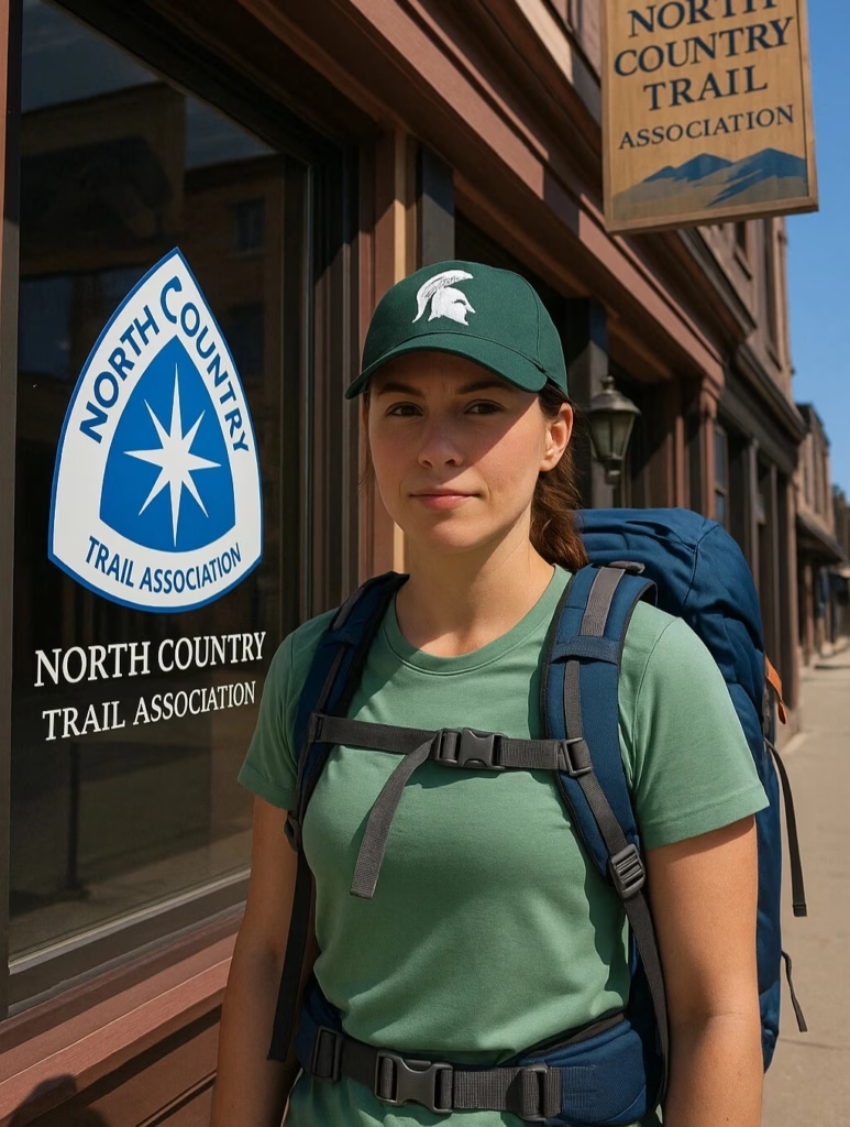
From Mackinaw City, the trail winds south through Petoskey and Mancelona, dips through Manistee National Forest, passes Lowell (the NCTA headquarters), then heads toward Middleville, Springfield, and Waldron at the state line.
The route crosses glacial hills, shaded river valleys, and agricultural corridors while catching breezes off Lake Michigan. Whether you’re day-hiking or tackling a full section, plan ahead, check forecasts, and hike prepared.
Author’s note: This guide is part of Hiking Equipped’s Trail Weather Series, providing live weather links and preparation tips for every North Country Trail state. Always verify current conditions on weather.com before hiking.
 Read more: North Country Trail Maps