
Wales is one of the UK’s most rewarding hiking destinations, packing rugged mountains, wild moorlands, quiet valleys, and dramatic coastlines into a relatively small country. From the peaks of Eryri (Snowdonia) to the ridges of Bannau Brycheiniog (Brecon Beacons) and the cliff-top trails of the Pembrokeshire Coast, hiking in Wales combines big scenery with deep cultural roots, historic castles, and charming villages.
Whether you’re tackling airy ridges, following ancient border paths, or wandering along sea cliffs and sandy bays, this guide will help you plan your next hiking adventure in Wales.
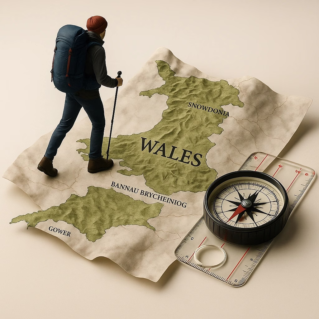
🧭 Quick Facts for Hikers
🗺 Terrain Overview
Wales offers a surprising amount of variety for its size:
Sharp mountain ridges and rocky peaks
Rolling hills and sheep-dotted uplands
Dramatic sea cliffs and sandy beaches
Forested valleys and reservoir circuits
Long-distance paths linking towns and castles
🌤 Weather Snapshot
The Welsh landscape is green for a reason:
Frequent rain and fast-changing skies
Strong winds on exposed ridges and coasts
Average temps: 40–68°F (5–20°C)
Spring and autumn are ideal; summer is warm but variable
🛂 Entry & Currency
Wales is part of the United Kingdom
Currency: Pound sterling (£)
Drive on the left
🗣 Languages
English widely spoken
Welsh (Cymraeg) used in many place names and communities—expect bilingual signage
🚆 Transportation
Trains and buses connect many key towns
Local buses help reach trailheads, especially in national parks
Rental cars offer maximum flexibility for remote valleys and coast paths
🥾 Top Hiking Regions in Wales
⛰️ Eryri (Snowdonia) National Park — Peaks, Ridges & Classic Scrambles
Eryri, still widely known as Snowdonia, is Wales’ most iconic mountain region. Its rocky peaks, glacial valleys, and rugged ridges provide some of the best hiking in the UK.
Top Hikes
Yr Wyddfa (Snowdon) — Wales’ highest peak; multiple routes from moderate to challenging
Crib Goch — Exposed knife-edge ridge for experienced scramblers
Tryfan & the Glyderau — Rocky summits, boulder fields, and dramatic skyline views
Cwm Idwal — Shorter, scenic loop around a glacial lake
Best For: Experienced hikers, ridge walks, and “big mountain” feel.
🏞️ Bannau Brycheiniog (Brecon Beacons) National Park — Ridges & Rolling Uplands
Bannau Brycheiniog, formerly known as the Brecon Beacons, combines broad ridges, grassy summits, and far-reaching views over patchwork countryside.
Top Hikes
Pen y Fan & Corn Du — Classic Welsh summit hike, very popular
Fan y Big & the Horseshoe Ridge — Longer ridge day
Waterfall Country — Gorge walks and multiple falls in the southern park
Best For: Moderate ridge walking, big views without technical scrambling.
🌊 Pembrokeshire Coast National Park — Cliffs, Coves & Seabirds
The Pembrokeshire Coast offers some of the most beautiful coastal hiking in the UK, with cliff-top paths, sea arches, sheltered bays, and historic seaside villages.
Top Hikes
Sections of the Pembrokeshire Coast Path
Walks near Strumble Head and Barafundle Bay
Best For: Sea views, wildlife, and multi-day coastal hikes.
🌄 Cambrian Mountains — Wales’ Quiet Heartland
Less visited than Eryri and Bannau Brycheiniog, the Cambrian Mountains offer remote moorlands, reservoirs, and long, quiet walks.
Top Experiences
Long upland routes with few crowds
Reservoir circuits and forested valley walks
Best For: Solitude, long-distance walking, and wild-feeling landscapes.
🧭 Offa’s Dyke Path — Following an Ancient Border
This long-distance path roughly follows the historic earthworks between England and Wales, crossing hills, fields, and ridgelines as it traces the border.
Highlights
Rolling hills with wide views
Historic towns and villages
Mix of farmland, woodland, and open uplands
Best For: Multi-day hiking and cultural immersion.
🏰 Other Notable Regions
Gower Peninsula — Beautiful beaches and coastal walks
Clwydian Range — Accessible hills in northeast Wales
Elan Valley — Reservoirs, dams, and peaceful valley trails
🌦️ Weather & Seasonal Hiking Tips for Wales
🌱 Spring (March–May)
Greening hills, lambs in the fields, blooming wildflowers
Cool temps and frequent showers
Great shoulder season with fewer crowds
☀️ Summer (June–August)
Longest days and warmest temperatures
Popular routes like Snowdon and Pen y Fan can be busy
Coastal areas often breezy and exposed
🍂 Autumn (September–October)
Rich colors in valleys and forests
Cooler, clearer air — excellent visibility
A favorite season for experienced hikers
❄️ Winter (November–February)
Short daylight, cold temperatures, and frequent rain
Snow and ice possible on higher peaks in Eryri and Bannau Brycheiniog
Low-level valley walks and coastal paths preferred unless properly equipped
Always check:
The Met Office UK mountain and coastal forecasts before heading out.
🔦 Safety, Navigation & Terrain Advice
Weather can change quickly, especially in Eryri and Bannau Brycheiniog
Cloud and mist often cover summits—strong navigation skills are important
Paths can be rocky, boggy, or eroded; sturdy footwear is essential
Take OS maps or a trusted GPS app for mountain routes
Stay on waymarked paths where requested to reduce erosion
Emergency services: 999 or 112 in the UK
🐑 Wildlife & Natural Features
Wildlife to Watch For
Mountain ponies and sheep on the hills
Seabirds and seals along the coast
Raptors like red kites, buzzards, and peregrine falcons
Landscapes
Rocky summits and cliffs
Heather moorlands and grassy plateaus
Glacial valleys carved by ice
Clifftop paths with sea stacks and arches
🕍 History & Culture Along the Trail
Wales is rich in history and legend, and you’ll see it wherever you hike:
Medieval castles perched above towns and rivers
Iron age hillforts on ridgelines
Old chapels, churches, and stone circles
Place names rooted in the Welsh language
Sites connected to myth and folklore
A day hike in Wales often feels like a walk through both landscape and story.
🗺️ Maps & Navigation Resources
Paper Maps
Ordnance Survey Explorer 1:25,000 for Eryri, Bannau Brycheiniog, Pembrokeshire, and more
Digital Tools
🌤️ Trail-Side Weather Resources (Quick Links)
For accurate forecasts, check:
Met Office UK — mountain area and coastal forecasts
🧳 Travel Tips for Hikers in Wales
Money & Access
Currency: Pound sterling (£)
Cards accepted almost everywhere
Many trails start directly from villages or car parks
Transport
Trains and buses connect major hubs like Bangor, Betws-y-Coed, Cardiff, and Swansea
Local buses serve some national park areas
Rental cars provide the most flexibility for early starts and remote locations
Lodging & Food
Inns, guest houses, B&Bs, and hostels in most hiking hubs
Campgrounds in and around national parks
Pubs and cafés make excellent pre- or post-hike stops
🧭 Trail Comfort Tip: Restrooms on Welsh Hills & Coastal Paths
Wales’ upland areas—like Eryri (Snowdonia), the Brecon Beacons (Bannau Brycheiniog), and the Pembrokeshire Coast—often offer spectacular views but few facilities. With open, treeless terrain common at higher elevations, hikers rely on natural dips, boulders, or hillside curves for privacy. Follow Leave No Trace guidelines by moving at least 70 meters (200 ft) from trails and water sources and packing out all toilet paper. Many car parks and village trailheads offer facilities before you begin.
🌈 Final Thoughts: Why Hike in Wales?
Wales offers a powerful mix of mountain drama, coastal beauty, and cultural depth. In a single trip, you can summit rocky peaks, follow airy ridges, stroll along sea cliffs, and wander through valleys filled with farms, chapels, and ancient stonework. Well-marked trails, friendly communities, and a rich outdoor tradition make Wales an inviting destination for hikers who want big scenery in a compact, accessible package.
Whether you’re planning your first walk in Wales or adding it to a larger UK hiking itinerary, the hills, coasts, and castles of this remarkable country are ready to reward every step.