
Maps and Navigation apps in Spain offers an outstanding mix of traditional paper maps, well-marked long-distance trails, and modern digital navigation tools — all of which help hikers explore everything from the Pyrenees to the Camino de Santiago with confidence. Whether you’re relying on a smartphone, a GPS device, or detailed topographic maps, understanding the best tools for Spain ensures safe and stress-free navigation on the trail.
This guide highlights Spain’s most reliable maps, the top-performing hiking apps, and practical navigation tips for international hikers.
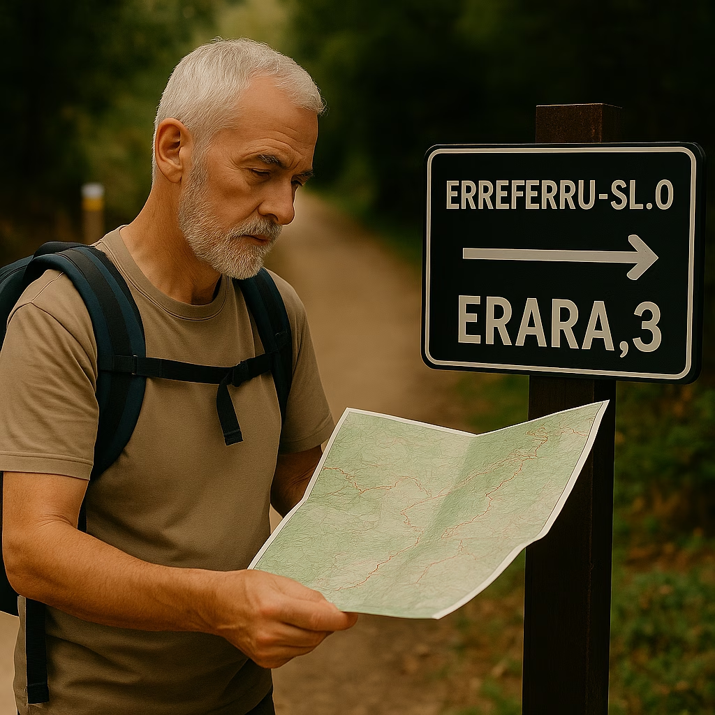
➡ Back to: Hiking Spain → Practical Travel Logistics → Maps & Navigation
Topographic Maps for Hiking in Spain
For hikers who prefer paper maps or want a dependable backup to digital navigation, IGN (Instituto Geográfico Nacional) is Spain’s gold standard.
IGN Maps (Instituto Geográfico Nacional)
Nation’s official topographic map provider
Accurate elevation lines, contour detail, and land classifications
Excellent coverage of the Pyrenees, Picos de Europa, Camino routes, and coastal trails
Available in 1:25,000 and 1:50,000 scales
You can purchase IGN maps online, download digital layers, or find them in outdoor shops in major cities like Madrid, Bilbao, and Barcelona.
Regional Maps
Some autonomous communities produce additional high-detail maps, including:
These can be useful for remote mountain routes and nature parks.
Best Navigation Apps for Spain
Digital apps perform extremely well throughout most of Spain, especially on popular routes like the Camino de Santiago. Here are the top choices for hikers:
Komoot
Excellent offline functionality
Detailed route planning
Great for multi-day trekking
Strong community notes on trail conditions
Komoot is especially reliable in Spain’s rural areas where data signals fluctuate.
AllTrails
The most user-friendly interface
Thousands of Spanish routes already mapped
Filters for distance, difficulty, and elevation
Great for Camino sections and national parks
AllTrails Pro allows offline map downloads, which is essential in mountain regions.
IGN App (Spain’s Official Mapping App)
Direct access to IGN topographic layers
Highly accurate terrain data
Perfect for navigation in steep or rugged regions
Free and regularly updated
This is the top choice for technical or remote hikes requiring precision.
Google Maps
Reliable for towns, roads, and Camino wayfinding
Less reliable in mountainous regions
Excellent for locating shops, albergues, ATMs, and transit hubs
Download offline regions before hiking.
Trail Markings in Spain
Spain uses several trail-marking systems depending on route type:
Camino de Santiago:
Yellow arrows
Scallop shell symbol (vieira)
GR Routes (Gran Recorrido – long-distance):
Red and white stripes
PR Routes (Pequeño Recorrido – shorter-day trails):
Yellow and white stripes
SL Routes (Sendero Local):
Green and white stripes
Icons and arrows are used widely, especially in multilingual regions.
Offline Navigation Tips
Because mountain valleys and rural regions can have limited cell service:
Download offline maps on Komoot, AllTrails, and Google Maps
Carry a power bank (20,000–30,000 mAh recommended)
Enable airplane mode to conserve battery during long days
Keep paper IGN maps as a backup
A satellite device (like Garmin inReach) is recommended for remote treks in the Pyrenees, Sierra Nevada, and Picos de Europa.
Real-World Example: Navigation on the Camino de Santiago
Most hikers on the Camino rely on yellow arrows and scallop shells — and these markers are abundant. Digital apps like Komoot or Wise Pilgrim make it easy to track progress, find lodging, or identify water sources. Full offline maps ensure reliable navigation even when cell service drops in Galicia’s rolling farms or Navarra’s hills.
Maps and Navigation Apps in Spain– Conclusion
Spain provides hikers with excellent tools for safe and confident navigation. From IGN’s precise topographic maps to powerful apps like Komoot and AllTrails, hikers have multiple layers of guidance available at every step. Combining digital navigation with traditional trail markings and a solid offline backup helps ensure a smooth journey through Spain’s most breathtaking landscapes.
Whether you’re following yellow arrows on the Camino or exploring rugged Pyrenean ridgelines, good navigation is your key to a safer and richer adventure.